- Free Article: No
- Custom Article Title: Discovering exploration
- Review Article: Yes
- Article Title: Discovering exploration
- Online Only: No
- Custom Highlight Text:
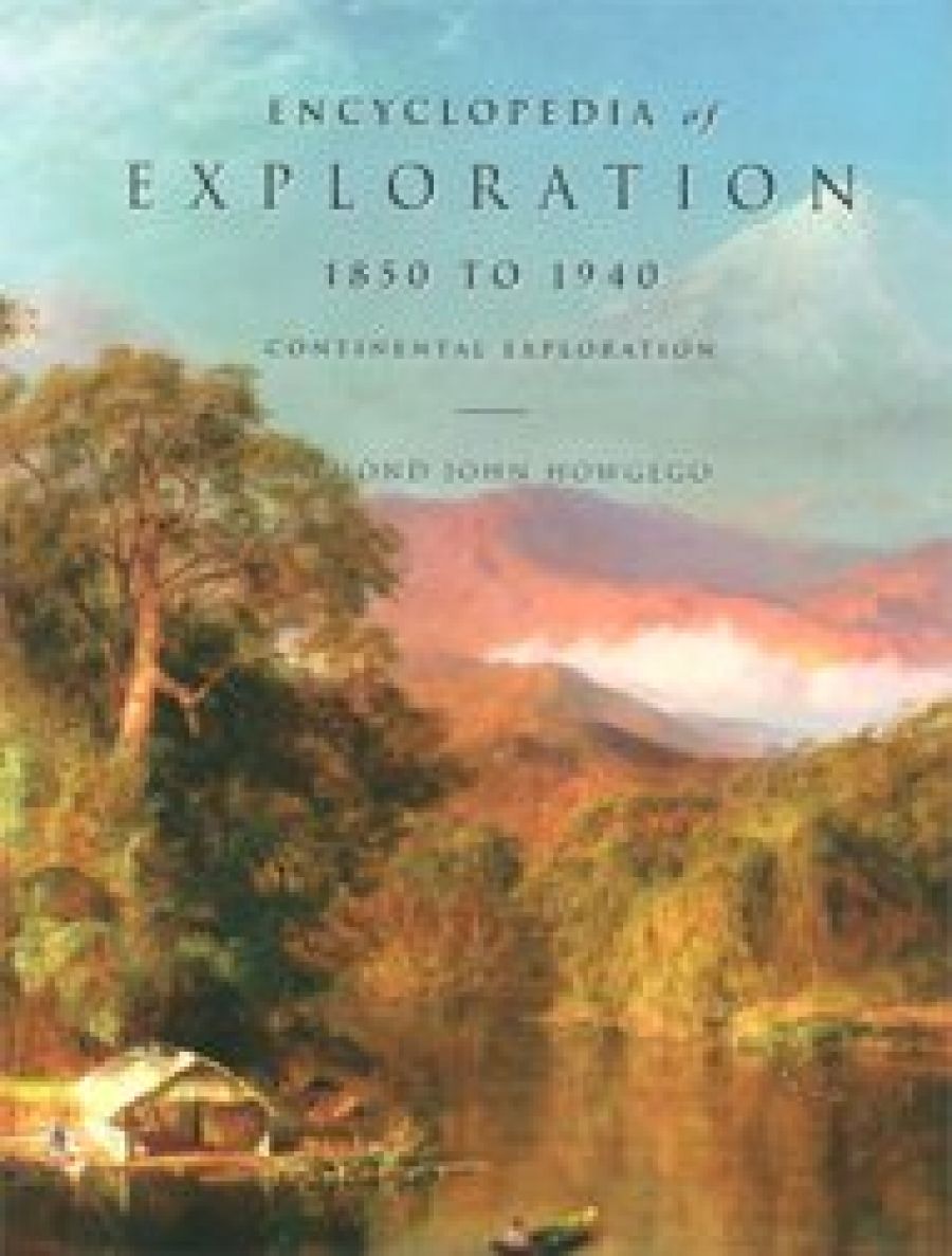
The concluding volume to Raymond Howgego’s epic Encyclopedia of Exploration completes a remarkable undertaking by a small publisher. Hordern House, best known as one of Australia’s leading antiquarian booksellers, has a record of producing high-quality publications, and Howgego’s Encyclopedia – now totalling more than 3,500 pages – is by any standards a great reference work. Volume 1 (published in 2003) covers the whole of human history up to 1800CE; Volume 2 (2004), 1800–50; and Volumes 3 and 4 (subtitled The Oceans, Islands and Polar Regions and Continental Exploration, respectively), 1850–1940.
- Book 1 Title: Encyclopedia of Exploration 1850–1940
- Book 1 Subtitle: Continental exploration
- Book 1 Biblio: Hordern House, $295 hb, 1047 pp
- Book 1 Cover Small (400 x 600):

- Book 1 Cover (800 x 1200):

- Book 2 Title: Australia in Maps
- Book 2 Subtitle: Great maps in Australia’s history from the National Library’s collection
- Book 2 Biblio: NLA, $59.95 hb, 148 pp
- Book 2 Cover Small (400 x 600):

- Book 2 Cover (800 x 1200):

As the earth’s surface was mapped in ever greater detail – and for a widening diversity of purposes – during the nineteenth and twentieth centuries, the ranks of Howgego’s ‘explorers’ in the later volumes are swelled by miscellaneous adventurers, deluded obsessives and outright ratbags. A highlight of Volume 4 is the entry for Frederick Albert ‘Mike’ Mitchell-Hedges (1882–1959), most famous for his discovery of an ‘Atlantean’ crystal skull in a ruined city in the forests of Honduras: it was subsequently revealed that he had in fact bought the skull at a Sotheby’s auction, but that unprepossessing fact has failed to rattle the faithful (see http://www.mitchell-hedges.com/ for the opinions of the ‘current caretaker’ and for a link to the new Indiana Jones movie). Mitchell-Hedges was accompanied on his adventures by his adopted daughter Anna and the indomitable Lady Lilian Mabel Alice Richmond-Brown (1885–1946). Mitchell-Hedges and Richmond-Brown were both married to other people when they first took off together and, with true upper-class panache, they remained so for many years. Their expeditions are chronicled in such works as Battles with Giant Fish (1923), Unknown Tribes Uncharted Seas (1927), Land of Wonder and Fear (1931) and Danger My Ally (1954).
More orthodox characters in Volume 4 include the legendary explorers of central Africa (Burton, Speke, Livingstone, Stanley) and of central Australia (Burke and Wills, Stuart, the Forrest brothers, Canning, Gregory, through to the hapless Lasseter). Theodore Roosevelt’s adventures in Africa and South America are included, as are the explorations carried out by Welsh settlers in Patagonia. The number of expeditions that involved the use of aeroplanes, along with the inclusion of pioneer motorists Georges-Marie Haardt (Africa, 1920s; Asia, 1930s) and Michael Terry (central Australia, 1930s), underscores the roll of rapid technological change during this period.
Howgego’s writing is concise and factual, but never dry. Over the course of the four massive volumes, he takes a consistently sceptical approach to unconfirmed discoveries: if an expedition is not documented, if no information was disseminated as a result of it, it can be argued that it made no contribution to human knowledge. So, for example, for Howgego’s purposes the activities of the Breton cod fishermen who were exploiting the Newfoundland banks a generation before the Cabots, or of the sealers who were operating in Bass Strait before it was officially discovered, are in essence irrelevant. More problematic are the claims of Spanish and Portuguese sightings of northern Australia before Jansz’s voyage of 1606. The great land mass ‘Java Le Grande’ on the Dieppe maps is almost certainly not Australia – see Walter Richardson, Was Australia Charted before 1606? (2006) – but there is still considerable evidence that Jansz’s discovery did not come out of the blue: Andrea Corsali’s letter of 1517 refers, second-hand, to a large land mass south of New Guinea; and later sixteenth-century maps such as De Jode’s Nova Guinae Forma et Situs (1593) and Wytfliet’s Chica sive Patagonica et Australis Terra (1597) are strongly suggestive of European sightings of Cape York. It seems reasonable, in any case, to assume that Jansz had reasonable expectations of finding land when he sailed south from New Guinea.
More problematic still are the questions of what exactly ‘discovery’ meant to the discovered, and to what extent ‘human knowledge’ is knowable or accessible by any individual human at any given point in time. Howgego’s positivism is in this regard both his greatest strength and his greatest weakness: he is a scrupulous marshaller of facts and weigher of evidence; but he leaves it to others to explore the wider meanings of exploration. To have embarked on that course, though, would have resulted in something other than the comprehensive and authoritative reference work that is the Encyclopedia of Exploration.
The addition of an 86-page ‘Geo-chronological index’, made available free on the publisher’s website http://www.hordern.com/publication/Howgego/Geo-chronological Index.htm greatly enhances the value of the whole work, enabling the reader to construct a narrative of exploration in any part of the world. This index is not just another means of access, it is another way of seeing the whole subject: it shifts attention from the exploits of heroic individuals to the growth of knowledge as a collaborative, accumulative process.
Coincident with the publication of Howgego’s final volume, the National Library of Australia has released a book highlighting the riches of its Map Collection. Australia in Maps has two distinct but compatible aims: ‘to introduce readers to the range and richness of the National Library’s map collections’ and to ‘tell the stories behind these maps: the dangers of traversing uncharted territories; the intrigue associated with competition for economic and strategic ascendency; technological changes in map-making and dissemination; and, above all, changes in human knowledge and representation of the world around us’.
The book is divided into twelve sections, most of which focus on the ‘heroic age’ of European exploration and colonisation: ‘Aboriginal Australia’, ‘European Theories of Terra Australis Nondum Cognita’, ‘Recorded European Knowledge of the South Land’, ‘Theories of the East Coast of New Holland’, ‘European Coastal Surveys of Australia’, ‘British Colonial Settlement and Port Mapping’, ‘Overland Exploration and Pastoral Land Acquisition’, ‘Mineral Exploration and Geological Surveys’, ‘Land Administration and Management’, ‘Urban Planning’, ‘Military Mapping’ and ‘Overland Transport’. Each section discusses four or five maps in detail.
There are some odd placements: Charles Wilkes’s charts of the Antarctic coastline appear in the section on ‘Land Administration and Management’, and Kingsford Smith’s Pacific flight finds a place in ‘Overland Transport’; and the text is marred by some peculiar blunders (‘The Old Station’ is not a novel by Banjo Paterson, it is chapter in his novel An Outback Marriage, 1906). However, the overall effect is an impressive mix of the iconic (Ortelius, Thévenot, Cook, Flinders) and the obscure but revelatory. A rural police district map, for example, lays out the world of Paterson’s childhood. The stories of geological surveys and military mapping show both the development of map-making techniques and the evolution of two very different ways of seeing the Australian landscape.
In short, Australia in Maps does what it sets out to do. It is not a replacement for classic reference works such as R.V. Tooley’s Mapping of Australia and Antarctica (1979, 1985), T.M. Perry and Dorothy Prescott’s Guide to Maps of Australia in Books Published 1780–1830 (1996) or Robert Clancy’s Mapping of Terra Australis (1995), but it will find a wide general readership among anyone interested in how Australia came to be as it is, or more broadly in how maps shape our perceptions of the world.


Comments powered by CComment